
 Loading data...
Drone surveying
Drone surveying
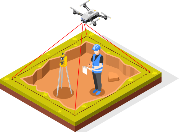
Utilise drones for your land surveying needs. Drones, or otherwise known as unmanned aerial vehicle (UAV), offer dynamic solutions for anyone’s land and building surveying requirements. Qualified professionals can help perform tasks such as 3D-mapping, photogrammetry and topographic surveying. It is a time effective, cost effective and an accurate way to get the job done.
FAQs
Drone surveying is an aerial survey performed with a help of a drone. Drones can be used for mapping, photogrammetry and topographic surveying and they can cover larger areas with relative ease.
Land surveyors and GIS (Geographic Information Systems) specialists utilise drone surveys in their work. Drone surveying can also be used to map out areas that are difficult to access or remote, as well as checking residential and commercial/industrial buildings for damage.
Drones collect data in a few different ways, such as video and photographs, but the most common way is using a Geographic Information System, which can interpret raw data and transform it into actionable information.
The cost of the drone survey depends of the size of the job and what kind of data you need the drone to capture. For example, a survey of a building’s roof is generally between £200 and £500, depending on the size of the building.
Yes, correctly handled by professionals, drones are perfectly safe. They are also a safer option for the surveyors themselves.
Drone surveying specialists covering your area
Experts covering your area
SL
It all started 8 years ago when my passion for crafting became my career and full-time job! With an open mind and desire to learn and master new abilities, my experience all these years taught me that anything is possible if you do it patiently and with devotion. During these 8 years, I have been working for dozens of companies including Wates, Bouygues, Graham, Paragon, Lovel and many others. The construction industry is all a big living organism and being a talented worker isn't always enough. The ability to communicate, have a good and healthy relationship with ppl around you and work safely on site , are some of my ground principles. I am looking forward to working with you on your next big project!


COWIE CONSULTING LIMITED
Experts in surveying commercial and residential property throughout the North East and North Yorkshire.